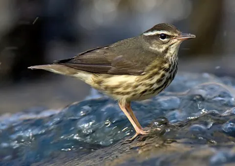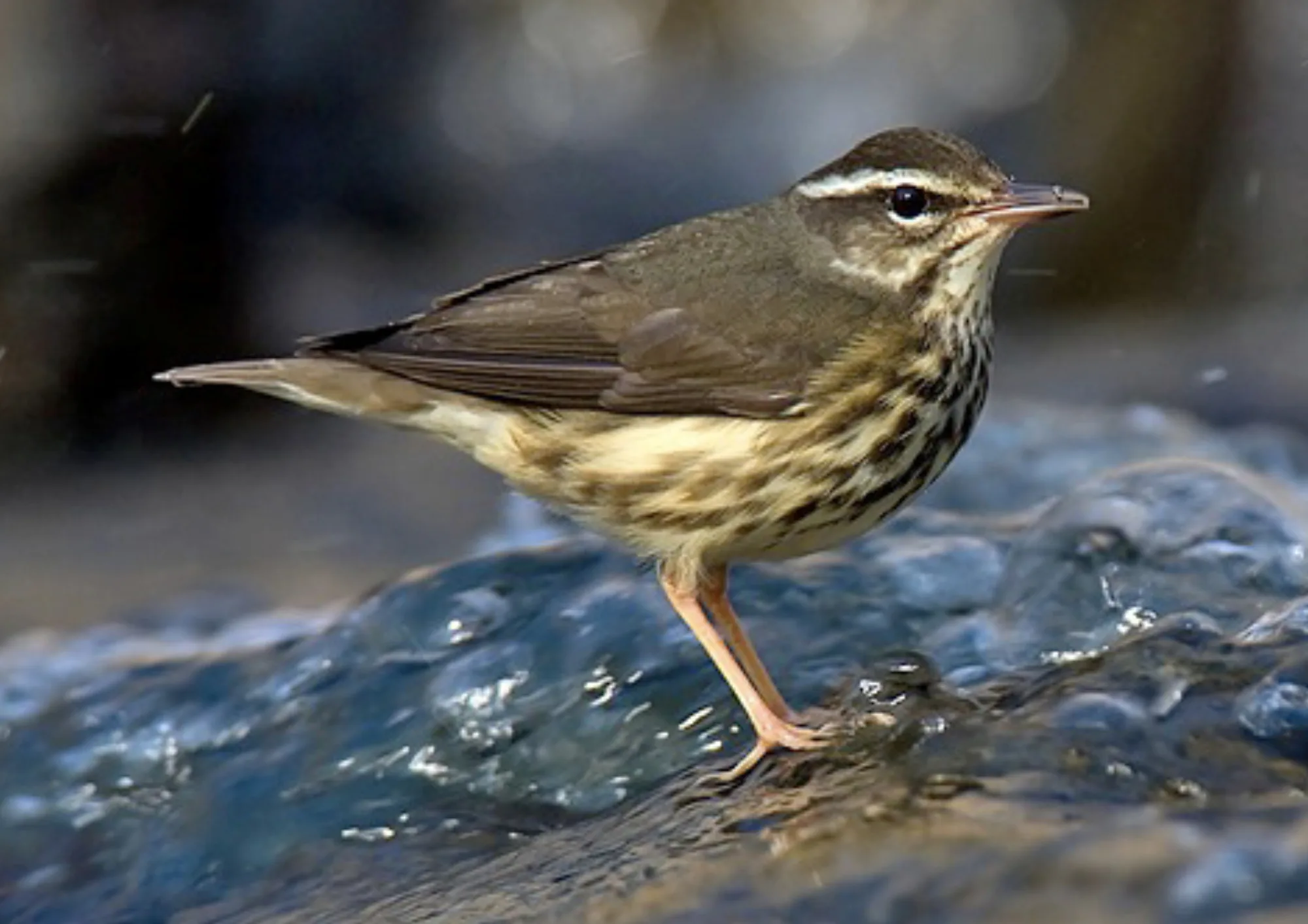
Louisiana Waterthrush
Parkesia motacilla
Arenal and Monteverde are the two atlas parks where the Louisiana Waterthrush is recorded, and its records concentrate most in the United States, Belize, Costa Rica, Guatemala and Canada. The atlas holds about 260,000 open records of this bird from seven countries. Because the map shows where these records cluster, it represents a partial view of the total range.
Records are seasonal and peak from April to August. The fewest records are logged between September and February.
- Records
- 259,531
- Countries
- 7
- Atlas places
- 2
Each bar is the share of its 200 month-dated grid cells with records in that month.
These are open occurrence records, so they show where people looked for and recorded the Louisiana Waterthrush as much as where it lives. The atlas keeps a species' 200 best-recorded grid cells, so the map shows where records concentrate rather than its whole range. Cells are up to 25 km across, and every location is generalised to its cell.
Generalised encounter areas, not exact locations. Each shape is a grid cell coloured by how likely the species is there.
- Very likelyUnited States25 km zone · high confidence · 236178 records · updated 40 days ago
- Very likelyBelize25 km zone · high confidence · 7860 records · updated 40 days ago
- Very likelyCosta Rica25 km zone · high confidence · 7378 records · updated 40 days ago
- Very likelyGuatemala25 km zone · high confidence · 3336 records · updated 40 days ago
- Very likelyCanada25 km zone · high confidence · 1974 records · updated 40 days ago
- Very likelyPanama25 km zone · high confidence · 1481 records · updated 40 days ago
- Very likelyMexico25 km zone · high confidence · 1324 records · updated 40 days ago
Conservation status not assessed here yet, so every location is generalised to its grid cell.